This Destination Is One of Colorado's Best-kept Secrets and Has the World's Second Largest Concentration of Natural Arches
This Colorado canyon is lined with red rock arches — and getting there is half the adventure.

Cavan Images/Getty Images
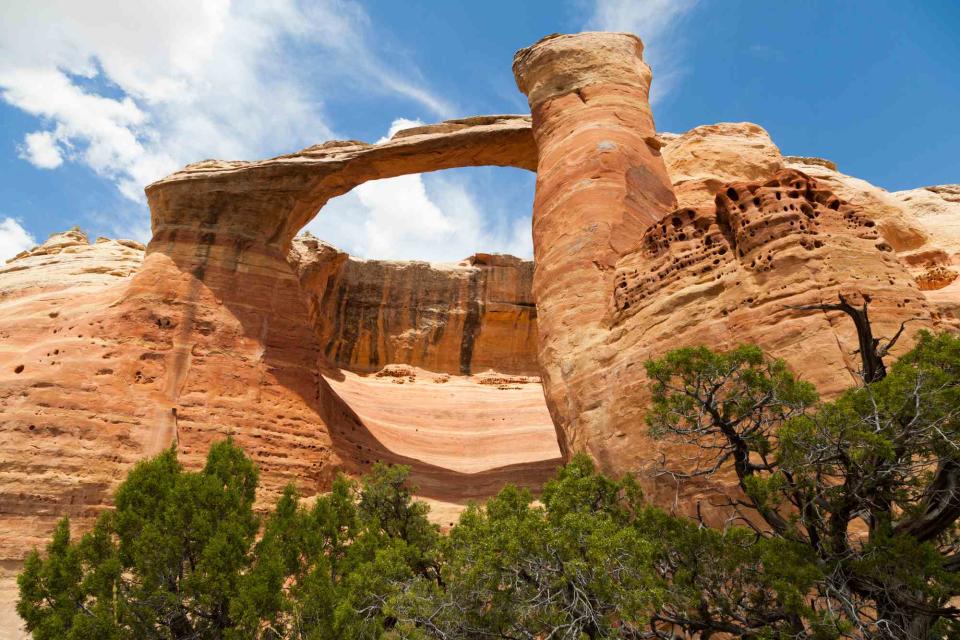
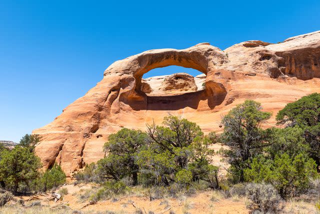
When you think of soaring arches carved out of red sandstone, Utah likely comes to mind. But right across the border in Colorado is a lesser-known, yet similarly impressive sight: 35 natural arches tucked in a canyon on a 123,400-acre preserve. These arches, which makeup the world’s second largest concentration of arches, are unknown to most. Known as the Rattlesnake Canyon Arches, the soaring rock formations are set along Rattlesnake Canyon among the colorful cliffs and pinnacles of McInnis Canyons National Conservation Area.
The Rattlesnake Canyon Arches are one of Colorado’s best-kept secrets for a reason. Unlike Arches National Park, which makes walking under a red rock arch as easy as completing a half-mile hike, the journey to Rattlesnake Canyon takes time — and grit.

Getty Images
The easiest way to see the arches is to drive in and then complete the journey on foot. Those with a high-clearance four-wheel-drive vehicle can drive to the upper trailhead on the Black Ridge Access Road, which is typically open from April 15 to Feb. 15. From the upper trailhead, hikers pass a series of eight arches early in the 6-mile round-trip journey.
The journey to the arches is longer and more strenuous for those who visit when the Black Ridge Access Road is closed — or those who don’t have a car that can get to the upper trailhead. In this case, the journey to Rattlesnake Canyon requires a 16.4-mile round-trip hike on the Pollock Bench Trail, which eventually becomes the Rattlesnake Canyon Arches Trail.

Getty Images
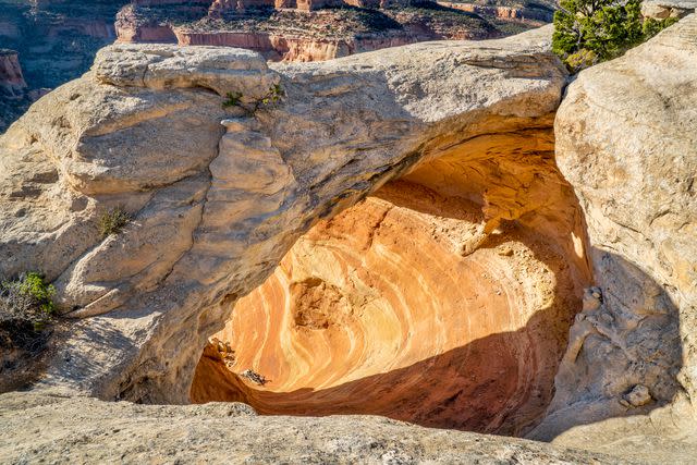
Either way, visitors who are willing to make the trek are treated to a series of jaw-dropping arches along the upper rim of Rattlesnake Canyon. According to the tourism website for the neighboring town of Grand Junction, Colorado, “The Rattlesnake Canyon Arches, formed in a 150-foot-high layer of Entrada sandstone, is scattered along a mile of the canyon’s upper rim. The smooth, salmon-colored sandstone was deposited more than 175 million years ago in the form of sand dunes on an ancient coastline. As the ancient inland sea disappeared, erosion started sculpting contoured alcoves in the cliff with wind-blown grit, frost wedging, and quick runoff — thinning out the alcoves until holes appeared. Trickling water later enlarged the holes, leaving today’s magnificent parade of arches.”

Alberto Loyo/Getty Images
Today, hikers can pass by — and in some cases, through — the sky-high arches, which are the crown jewel of the unique southwestern Colorado landscape. In addition to seeing several arches, hikers will get views over the canyon, spot rock pinnacles, and enjoy the dry, high-desert landscape that’s home to desert bighorn sheep, coyotes, and mule deer. Meanwhile, turkey vultures, golden eagles, and hawks can often be spotted soaring above the arches.
The Pollock Bench Trail is less than 15 minutes from downtown Fruita, Colorado, and less than 30 minutes from Grand Junction, Colorado, by car.
For more Travel & Leisure news, make sure to sign up for our newsletter!
Read the original article on Travel & Leisure.