Best Scottsdale hikes in springtime: McDowell Sonoran Preserve is full of possibilities
Time to give Scottsdale its due. Many cities pay lip service to quality-of-life issues. Some go so far as to carve out a few strategic buffers of open space. The epic scale of what Scottsdale set aside, however, is spectacular.
Established in 1995, the McDowell Sonoran Preserve encompasses more than 30,000 acres. That’s larger than the city of Tempe. With no admission fees and more than 200 miles of hiking and biking trails, this makes the McDowell Sonoran Preserve a great desert playground for the next several months.
To plan your route, maps are available at trailheads and can be downloaded at www.mcdowellsonoran.org. The McDowell Sonoran Conservancy offers about 90 guided hikes and bike tours between September and April. Dates and locations are posted on the website.
Here are a few favorite trails to get you started.
Arizona's 10 best hikes are gorgeous: Here's where they are and how to do them
Marcus Landslide Trail
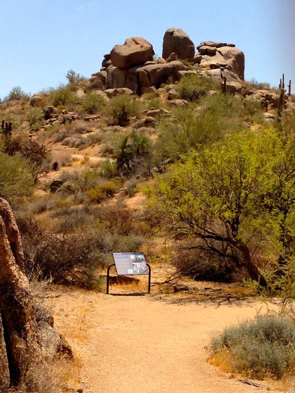
A half-million years ago a nuclear bomb went off in the McDowell Mountains. At least that’s the amount of energy expended when a slab of mountain sheared off, plunged earthward and roared across the valley floor. Nearly 26 billion pounds of rock, soil and vegetation flowed about a mile in a furious torrent before coming to rest.
That tale of long-ago violence unfolds through interpretive signs on the Marcus Landslide Trail. The path ambles along the base of the mountains for 1.5 miles, cutting through a virtual forest of cholla cactus. Rising above are a collection of boulders as big as cars and cottages.
As the trail curves closer to the mountains, signs identify the breakaway scar, a concave scoop along the ridgeline. Just then, the level trail tilts uphill as you climb the slide mass, roughly 4,000 feet long and 100 feet above the desert floor.
The trail makes a mile loop as it picks its way through the maze of jumbled boulders that took such an abrupt journey eons ago. Today they seem perfectly content where they are. Return to the trailhead for a hike of 4 miles.
Trailhead: Tom’s Thumb, 23015 N. 128th St., Scottsdale.
Arizona wildflowers 2022: Here's where to see the best blooms
Jane Rau Trail

Everyone should take a walk on the Jane Rau Trail as a tribute to one of the people who spearheaded the effort to establish the preserve.
Jane Rau is a longtime community activist and educator. The trail that bears her name circles through a lovely wash area punctuated by tall saguaros and clumps of boulders. Enjoy views of Brown’s Mountain, a slanted hump rising from the desert floor, and the smooth precision of neighboring Cone Mountain.
The Jane Rau Trail is less about big vistas and more about small details. It provides a chance to move slowly and savor the little flourishes of the landscape — the way the sun splinters on the spines of teddy bear cholla, the soft landing of a butterfly on a yucca stalk and the bobbing gait of Gambel’s quail scurrying for cover.
The barrier-free Jane Rau Trail is a 0.4-mile loop that meets accessibility standards.
Trailhead: Brown’s Ranch, 30301 N. Alma School Parkway, Scottsdale.
For fans of water, mountains, saguaros: 10 great Arizona hikes to try this winter
Diablo Trails

The Diablo Trails sit directly north of Cholla Mountain and can be reached via Browns Ranch Trailhead, about a 9-mile round trip.
The twisted corkscrews of North and South Diablo seem to exist in a post-apocalyptic world populated by half-mad bikers. They’re tucked behind a gate in a previously unmapped corner of the preserve. Big warning signs are posted to scare off all but the most crazed spoke jockeys.
But the features that make the trails challenging for bikers — the stone ledges, protruding rock slabs and sharp curves — make them great fun for hikers. The Diablos are textured trails with lots of visual interest.
North and South Diablo are subdivided into a series of internal loops. Trail signs stating “Most Difficult” point the way to the hard-core technical stuff for bikers. Hikers can pick and choose a route as they see fit.
Trailhead: Browns Ranch, 30301 N. Alma School Parkway.
Best Tucson hikes: Where to see waterfalls, mountains and a rare crested saguaro
Gooseneck Trail

For 7 miles the Gooseneck Trail flows in long sinuous curves through the slender central region of the McDowell Sonoran Preserve, knitting together the expanse of the southern and northern sections.
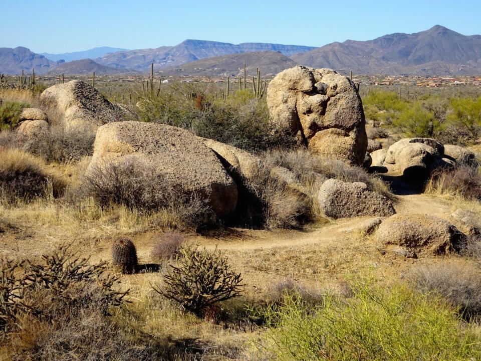
Starting from the Fraesfield Trailhead, the first 0.8 mile ambles west, then crosses Dynamite Boulevard/Rio Verde Road. As soon as traffic noise fades, things get interesting. The trail begins to weave through creosote flats sprinkled with clusters of oddly stacked boulders set amid a forest of tall spindly creosote. This hike must smell heavenly on a rainy day.
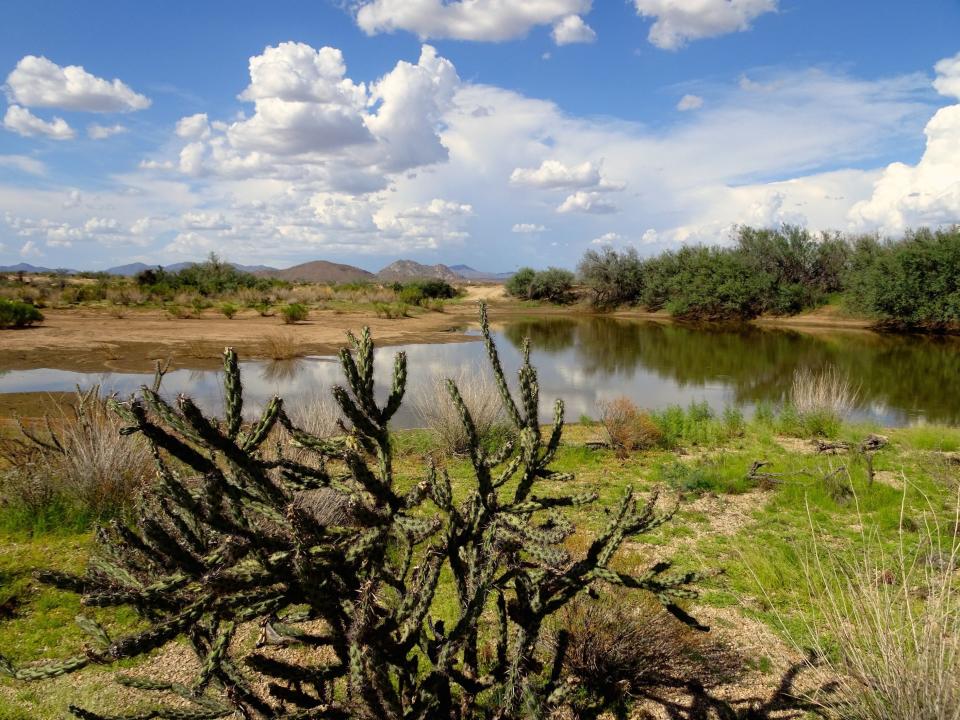
Farther south, a small stock tank left over from ranching days laps against a berm lined with mesquite trees. The scenery becomes more dramatic as the trail crosses low hills that roll like waves against the wall of the McDowell Mountains. Saguaros begin to gather and the clumps of boulders return, except now they’re bigger, more belligerent somehow. It’s pretty much everything you want in a desert trail.
Gooseneck ends at its junction with Rock Knob Trail, near the Tom’s Thumb Trailhead. It’s best to share the Gooseneck with an amigo so you can do a two-car shuttle.
Trailhead: Fraesfield, 13400 E. Rio Verde Drive, Scottsdale.
Coyote Canyon
A narrow gorge toothy with boulders, Coyote Canyon is a hidden gem tucked deep in the preserve. Getting there means traversing multiple trails from the Granite Mountain Trailhead, a round trip of nearly 7 miles but well worth it.
Clustered boulders squeeze in around the path as you enter Coyote Canyon. It’s a sliver of a defile, an arroyo with dreams. But that intimacy is part of its charm. The narrow sandy path threads through a maze of granite. Some boulders seem neatly placed; others are strewn about with abandon.
After a few scenic twists and turns, the path corkscrews out of the shallow canyon amid a hardy stand of saguaros. The real showstopper is just ahead, an unusual double crested saguaro grows right at the edge of the trail. Located at the junction with the Desperado Trail, it's especially rare because the main trunk has forked with both ends fanning out into a double crest. It’s like seeing a saguaro wearing Mickey Mouse ears.
Trailhead: Granite Mountain, 31402 N. 136th St., Scottsdale.
3 more McDowell Sonoran Preserve hikes
Cone Mountain: This trail in the Brown’s Ranch area throws a lasso around distinctive Cone Mountain, weaving among saguaro sentinels along the way. On the back side, big boulder slabs add texture to the slope.
Granite Mountain Loop: Leaving from the trailhead that bears its name, the trail circles the boulder-strewn mountain, one of the most prominent peaks in the northern half of the preserve. A short side trip leads to the precariously teetering multi-ton Balanced Rock.
Lost Dog Wash: This popular trail climbs into the hills at the edge of Scottsdale suburbs and offers nice views along the way, including a vista of Frank Lloyd Wright’s Taliesin West.
Find the reporter at www.rogernaylor.com. Or follow him on Facebook at www.facebook.com/RogerNaylorinAZ or Twitter @AZRogerNaylor.
This article originally appeared on Arizona Republic: Scottsdale's best hikes in McDowell Sonoran Preserve
